
Navy MTC2

From Manual Planning to Maritime Command and Control
The Challenge
Afloat planners and staffs orchestrate units, deconflict missions, and align forces for execution on a cyclical battle rhythm — and for years they did it with slide decks, spreadsheets, and the institutional memory of whoever happened to be in the watch. The cultural process was mature. The execution was not. A planner building a strike group employment plan was sourcing maps from one tool, schedules from another, fuel curves from a third, and METOC from a fourth, then stitching it all together in PowerPoint to brief leadership. Promulgating a single transit plan could take a full day, with hand-plotting at the receiving unit and verification sometimes happening in person. The data existed. The integrations did not. What the fleet didn't have was a single planning environment where a staff could see the operational picture, build a tactically viable plan against it, and share it up and down the chain at the speed the mission demanded.
The Reality
MTC2 is the planning workspace afloat staffs were missing. Multiple Battle Management Aids (BMAs) — missile defense calculations, tactical planning, asset management, operational areas, force status, mission suitability, fuel planning — converge into a single geospatial view, with schedules and plans rendered against the same map every echelon is looking at. Plans that took days to build, brief, and approve now move in hours. Transit routes that required hand-plotting at the receiving ship now flow digitally and render in minutes. The same product line that supports deployed task forces also runs in the schoolhouse, where the next generation of department heads learn operational planning on the tool they'll use at sea. The PowerPoint stitch-up is gone. So is the gap between what the data could tell a planner and what the planner could see.
Deployment at Scale
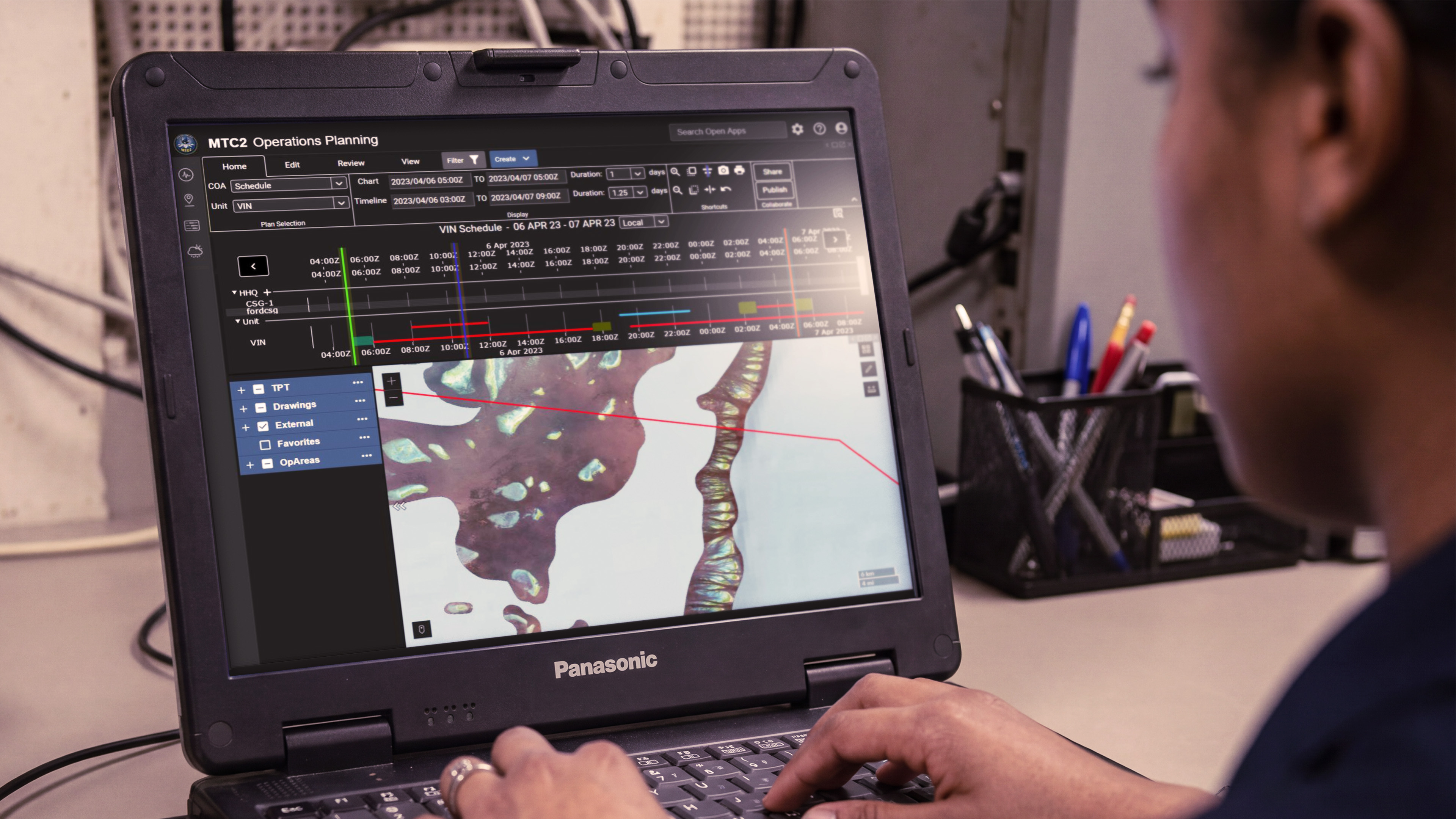
MTC2 has been deployed across the surface fleet and integrated into the training pipeline that feeds it. Installed on dozens of CANES-equipped ships and across ashore SIPR enclaves at fleet staffs and schoolhouses, it pulls live tracks, weather, movement reports, fuel data, transit routing, and operational area boundaries into a unified planning surface. Through an agile DevSecOps model, capability requests from deployed users move from idea to fielded code inside a single release cycle — a cadence that has produced bespoke features for active operations on timelines measured in sprints, not years.